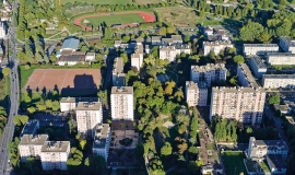
Over the past fifteen years, Apur has made use of very high-resolution aerial photographs acquired, on average, every four years.
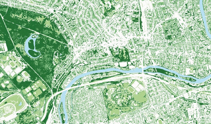
These images, together with near-infrared data and digital models of the ground surface and terrain make it possible to establish particularly detailed and accurate information on the vegetation coverage in Grand Paris Metropolis. The analysis of this specific information makes it possible to monitor new indicators and contributes to the thinking process of municipalities, helping them to find ways to protect and develop the vegetation coverage in an urban environment in view of global warming. These data form an essential contribution to the understanding, monitoring, conservation and development of nature in the city.
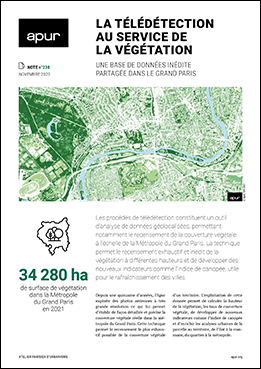
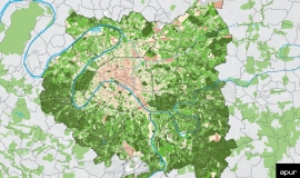
This note accompanies the open-data, online release of data on the height of vegetation calculated from aerial photographs collected in 2021. It begins by describing the method and creation of data on vegetation height, and the identification of public and private trees.
The note then goes on to illustrate the different uses that the agency makes of these data to gain a better understanding of the territory and to conduct various forward looking analyses.
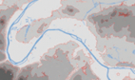
Among these different tasks, let us look at the example of identifying 3 vegetation stratums and the evolution of vegetation between 2005 and 2021. These data allow an analysis of the layout of vegetation managed by public or private sectors, the rate of greening coverage in an area on different scales and the identification of sectors which lack vegetation. It is also possible to exploit the data to analyse the distribution of vegetation in relation to urban fabrics and non-constructed spaces. The analysis of the height of vegetation also allows the role of vegetation on thermography and sunlight exposure to be studied. This, cross-referenced with the identification of the greening cover, enables the heat and cooling islands and cool paths to be studied. Finally, the agency uses these data to map the vegetation coverage per inhabitant on the basis of Insee grids and to analyse the permeability of ground surfaces in Paris.
In the context of the agency’s mission to share knowledge, the raster data file of vegetation coverage and its associated height on the scale of Grand Paris Metropolis, the 12 Public Territorial Establishments and each of the 131 municipal communes is now available on the Apur Open Data platform.

