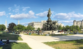
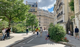
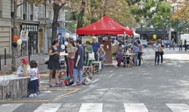
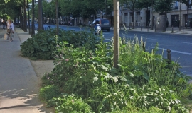
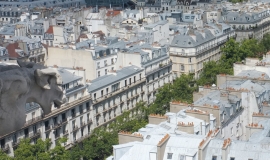
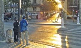
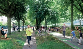
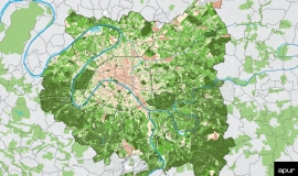
Faced with the climatic challenges and the needs of citizens, Apur has identified, together with City of Paris departments, the potential for planting nearly 20,000 trees along streets and greening 145 ha. Divided into 8 specific actions this will both reinforce the Parisian main road system with planted trees and create local street gardens.
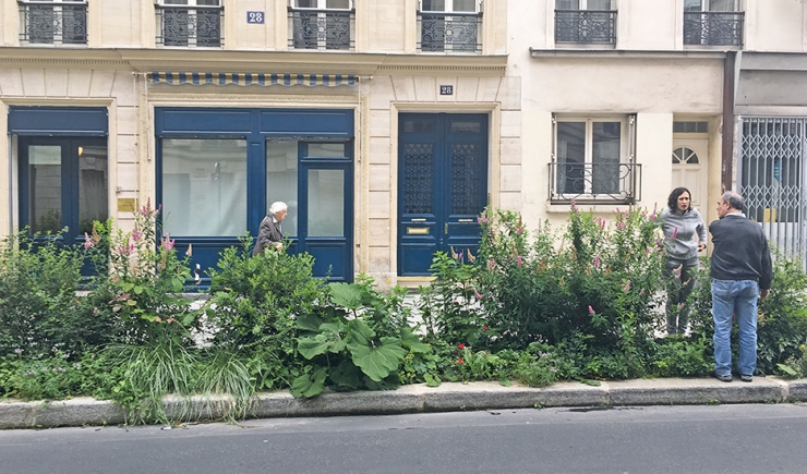
In July 2020, a first study identified the main challenges of greening streets concerning:
- historical criteria (walking in Paris),
- ecological (green belt, heat islands etc.),
- morphological (size of roads) and urban (centralities, facilities etc.) characteristics.
In the City’s tree planted heritage of 500,000 trees, one can today count 106,000 trees planted in streets covering a distance of 650 km. This means that 38% of Paris streets are lined with trees.
Apur has created scenarios of the potential planting of trees on one hand and the potential greening of open ground.
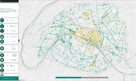
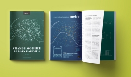
This study accompanies an atlas with details of each neighbourhood and was put together in close collaboration with the Department of Green Spaces and the Environment, the Department of Roads and Travel, and the Department of Hygiene and Water.
Book 1 deals with defining guidelines for the whole of Paris, organised under two themes:
- The first theme enables the planted Parisian road network to be reinforced. it includes 5 actions:
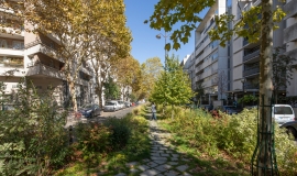
1 / Recreate the promenade character under the existing two lines of trees
2 / Reconstruct the historical double lines of trees that have disappeared
3 / Improve the landscape quality of planted pavements that are over 6 m wide
4 / Plant on streets that are over 19 m wide and are not yet planted
5 / Plant unplanted faubourg - outskirt streets.
- The second theme addresses actions that contribute to creating local street gardens. It includes 3 actions:
6 / To green areas near schools
7 / To green streets alongside parks, gardens, cemeteries and outdoor sports grounds
8 / To green short residential streets
With all the streets included, an estimation has been made of potential tree planting and greening of ground, while respecting the City of Paris planting constraints, concerning distance from buildings and underground networks. Networks taken into consideration are drains, urban heating systems, cooling networks and main water, electricity and gas pipes. It has been established by the City of Paris departments that finer networks could be diverted for certain major projects and that low lying vegetation on these networks could be carried out if there is enough depth of earth and possible protection from root growth.
On all these streets, it is estimated that a planting potential of 20,000 street lining trees and 145 ha of ground vegetation is possible. These estimations were calculated by including the balancing ration of each action, so that the different constraints of the project be taken into account: passages under gateways, delivery spaces, public transport…
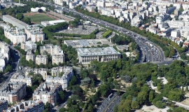
The study of identifying potential sites presented therefore deals with the streets, avenues and boulevards. Other work completes this approach to Parisian landscape and streets dealing with urban woods as well as specific major sites such as the boulevard Périphérique ring-road and areas by the River Seine (in conjunction with the Seine and Boulevard Périphérique Workshops).
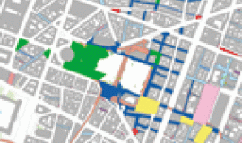
Book 2 is an atlas mapping the sites identifying each action with maps of each neighbourhood. Implementation will be carried out gradually with a first phase of selecting priority streets to be dealt with that is led by the City of Paris.


