A previously unpublished cartographic atlas from 1730 to 2017 for understanding better the interaction between planted and built-up areas in Paris over three centuries of urban transformation.
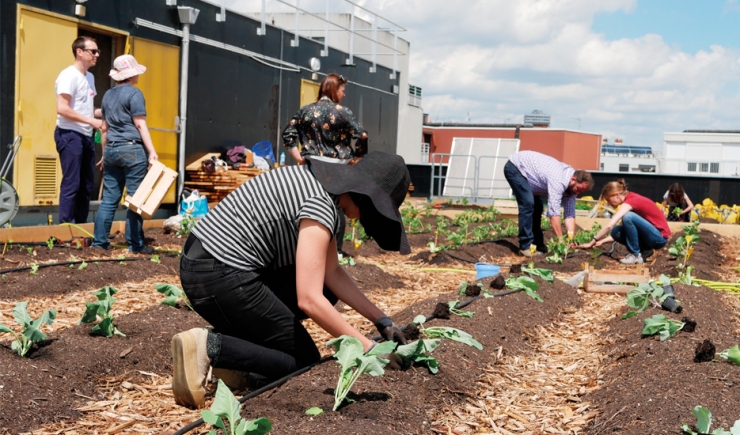
The study on the evolution of nature in Paris offers a totally new cartographic atlas.
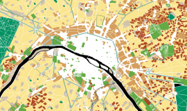
6 maps of 1730, 1830, 1900, 1930, 1975 and 2017 give insight into the interactions between planted areas and built-up areas in Paris, over nearly three centuries of urban transformation, at the very moment when a new contract is being drawn up addressing the city and nature. Today, nature is at the heart of a city’s attractiveness, environmentally and as a source of food, pleasure and beauty. It is a 21stC public amenity.
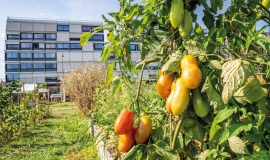
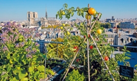
Today, there are 15 hectares of registered urban agriculture (almost twice that of the 70s), in Paris, a city which in addition to building a large amount of housing and facilities has increased its surface area of public and private green spaces by nearly 400 hectares in 40 years to a total of 1,420 hectares in 2017.
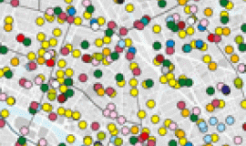
Everyone can discover the history of the different kinds of nature in their district by using this interactive map.
This study on the evolution of nature from 1730 to our present day was carried out in the context of the Naturpradi research-action: Urban Nature using Digital Procedures, organised by LAA / LAVUE (UMR 7218 CNRS) and financed by AAP MODEVAL URBA, Ademe 2016-19.

