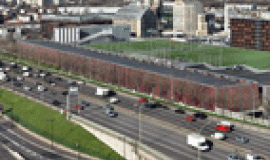
Motorways and dual carriageways of the XXI century should be optimised and rethought so they can become innovating mobility infrastructures that are at the same time a resource and multimodal, better integrated into the territories they run through and more respectful of the environment.
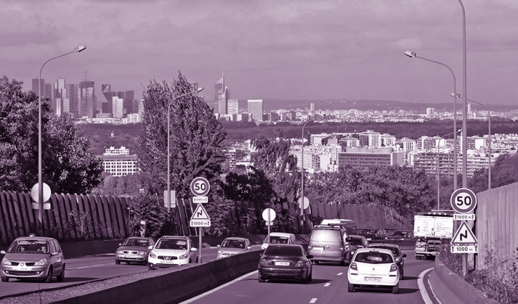
The Atlas of thematic maps presents a chosen selection of data taken from Apur’s geographic information systems, to illustrate the challenges arising from urban motorways and the old national roads in Grand Paris. Endowed with a dense road network compared with other European cities, it remains, however, congested in the Parisian conurbation with records in road traffic, time wasted in traffic jams and air pollution levels exceeding the authorised limits.
This cartographic atlas is part of the rethinking and discussion taking place in the framework of the International Consultation on the future of urban motorways, the ring-road -Boulevard Périphérique- and the structuring dual carriageways. It is organised by the Grand Paris Metropolitan Forum, the Government, Île-de-France Region, Paris City Council, Municipalities and Public Territorial Partner establishments.
The question about the future of the road and motorway network, that the 4 selected teams are being asked, with 2014, 2030 and 2050 in view, takes into consideration the context of behavioural changes linked to the arrival of the Grand Paris métro and new forms of connected and shared mobility. The way motorways and roads are used calls for profound changes, so that the metropolis can be constructed in accord with the Innovating and Sustainable Paris Agreement, where it is concerned about its economic development but also about its environment and the health of its population. Motorways and roads of the XXI century could be used better and rethought so that they transport more people, and become an innovating infrastructure, being a resource, multi-functional and better integrated into the territories they run through.
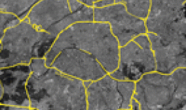
The first chapter of the atlas speaks about the challenges facing the road system and its transport functions, reviewing its characteristics of road traffic volume, management, road width, the presence of art works and speed limits.
The second chapter looks at the issues effecting the sectors of the population involved, those who use these infrastructures and those living nearby and highlights certain key indicators : density, motorisation of households, modes of transport for going to work, as well as types of housing and exposure to pollution.
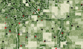
The third chapter focuses on employment and the economy, in terms of their evolution, the characteristics of employment hubs, the network of warehouses logistically speaking and as instigators of the transportation of goods.
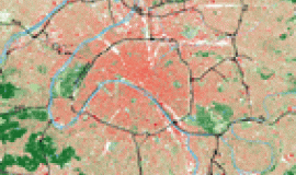
The issues of urban integration and the landscape are dealt with in the fourth chapter, with a map of the overall landscape depicting the height of vegetation and the built environment, as well as the phenomenon of urban heat islands, which roads play an important role in maintaining.
The fifth chapter tackles the question of the changing conglomeration, via a collection of maps illustrating various aspects: development projects for built and non-built areas, all the road construction and public transport projects underway, being studied or explored, and also in connection with the Olympic roads, with the hosting of the Olympic and Paralympic Games in 2024 forming a first milestone for the transformation, if only temporarily, of the road and motorway network.
In the last chapter, a collection of more specific maps of the ring road -Boulevard Périphérique- illustrate the particular context of this art work, with big transformation and urban integration issues which effect the 400,000 inhabitants who live nearby, as well as the whole of Grand Paris.

