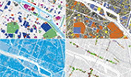
Apur continues to enrich its coherent and consolidated databases on Grand Paris. This extensive source of information and the speed at which its contents develop today necessitate that a real metadata cataloguing tool be put in place that goes beyond simply catalogued “papers”.

Following the “paper” edition of data published in 2015, Apur now proposes a new, on-line version. It has been expanded not only with data managed by Apur, but also exterior data (agreements made with its partners, acquisitions, downloaded and enriched data) which the agency uses in the context of its work and are linked to data published on its open data platform.
The catalogue is based on the reference standard for geographic information in the field of metadata (ISO 19115) and integrates a search engine for key words, theme icons and full texts which facilitates access to the data set information.
The data sets (over 140 referenced each day) are organised into general, thematic families to make them more easy to understand and to access via the following pictograms:
Each data set integrates a certain number of descriptive elements including notably a summary, the source or sources, the geographical location, utilisation constraints, a description of its attributes, the genealogy (structure and updating method) and possibly the link for downloading (if the data set is accessible on open data), …
Coherence is guaranteed by a system of links between the open-data platform’s metadata and those of the catalogue.


